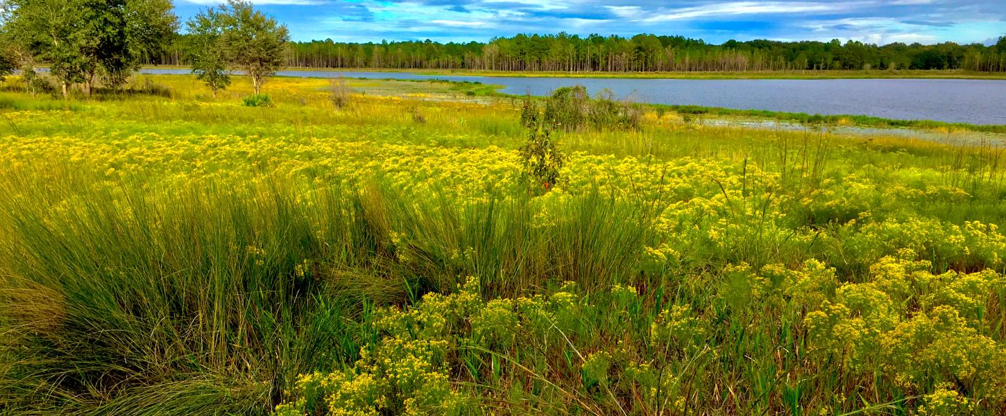
Mike Roess Gold Head Branch State Park is in the rolling hills of northern Florida in Clay County. The northern part of the park is part of the landscape feature known as the Trail Ridge Province, where greater elevations are observed. In contrast, the southern area of the park is part of the Hawthorne Lakes Province, where sinkholes are more common.
The park contains an intriguing example of how geologic processes create captivating landscapes. This park has steephead ravines with ecosystems that are different from the surrounding uplands. Sinkholes in the park are the result of dissolution of the limestone in the subsurface.
Steepheads are interesting geologic features found in locations scattered across northern Florida. Rainwater falls on the land and slowly infiltrates the sand to create the surficial aquifer system. Steephead ravines develop where surficial aquifer system groundwater seeps out of the ground along a contact between underlying low permeability sediment and overlying unconsolidated sand.
As water flows from the seeps, sand is eroded and a steephead ravine begins to develop. Over time, erosion causes the head of the ravine to migrate headward into the higher hills and a larger steephead ravine is formed.
The geologic story of the park begins with limestone found more than 200 feet below the land surface. The geologic formation known as the Ocala Limestone was deposited in a warm, shallow sea in the late Eocene Epoch nearly 34 million years ago. It is overlain by the Hawthorn Group, a lithostratigraphic unit. In northern Florida, the Hawthorn Group contains a mix of sand, clay and carbonates (limestone and dolostone) that was deposited between 23 to 12 million years ago during the Miocene Epoch. Younger quartz sand deposits overlie the Hawthorn Group and form the land surface in the park.
Limestone dissolves in fresh, slightly acidic groundwater, forming cavities. When the cavities collapse, overlying sediments move downward to fill the void, allowing a sinkhole to develop at the land surface. Sinkhole lakes, like Sheeler Lake in the northern part of the park, may form. In the southern part of Gold Head Branch State Park, a large area of coalesced sinkholes (including Little Lake Johnson and Big Lake Johnson) forms a basin. The sinkhole basin is important in the development of the park’s signature landforms - the steephead ravines.