Waccasassa River and Salt Marsh
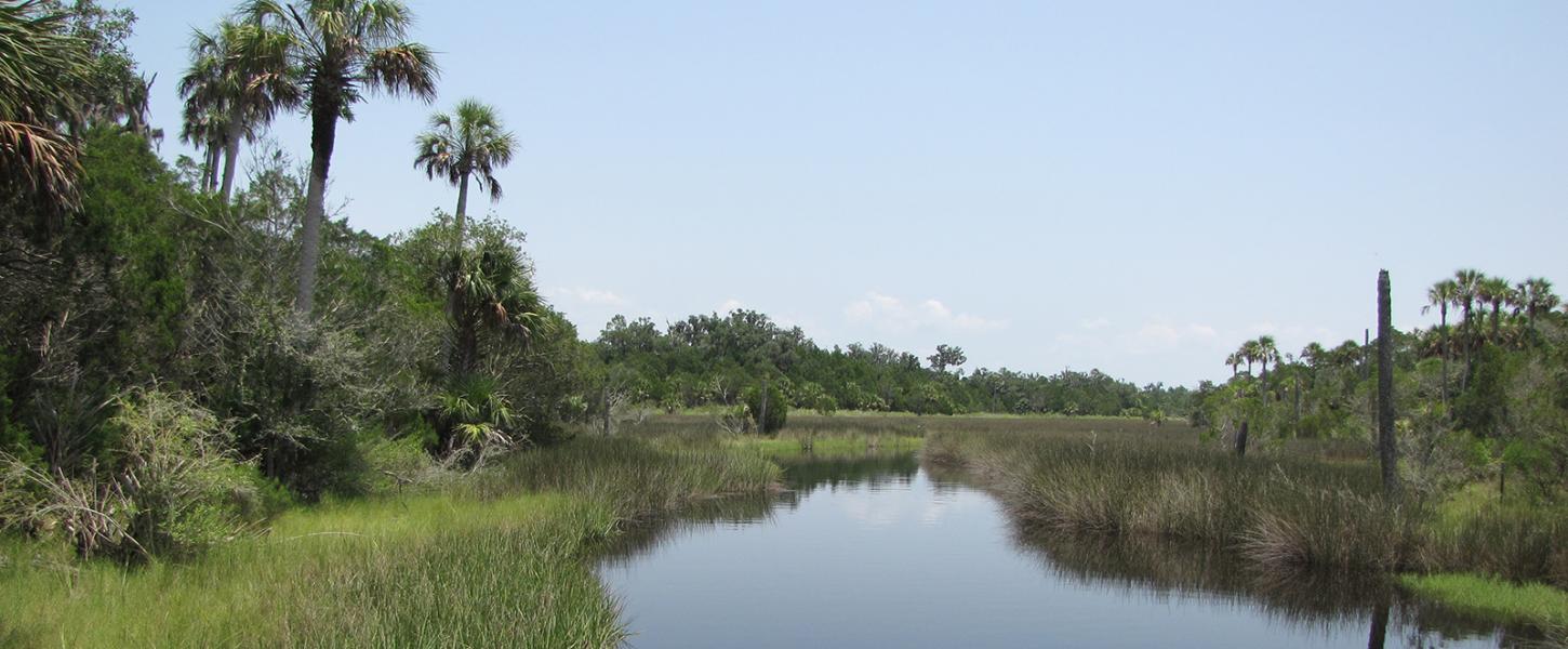
Flowing 29 miles from its headwaters to the bay that also bears its name, the Waccasassa River winds through the preserve nearly dividing it in half. The river makes it start in an area known as the Waccasassa Flats that stretches between Gilchrist and Levy counties and is fed by two second-magnitude springs: Levy Blue and Wekiva Spring. As it flows toward the bay, spring water mixes with numerous creeks and groundwater sources bringing vital fresh water to one of the preserve’s most extensive communities: the salt marsh.
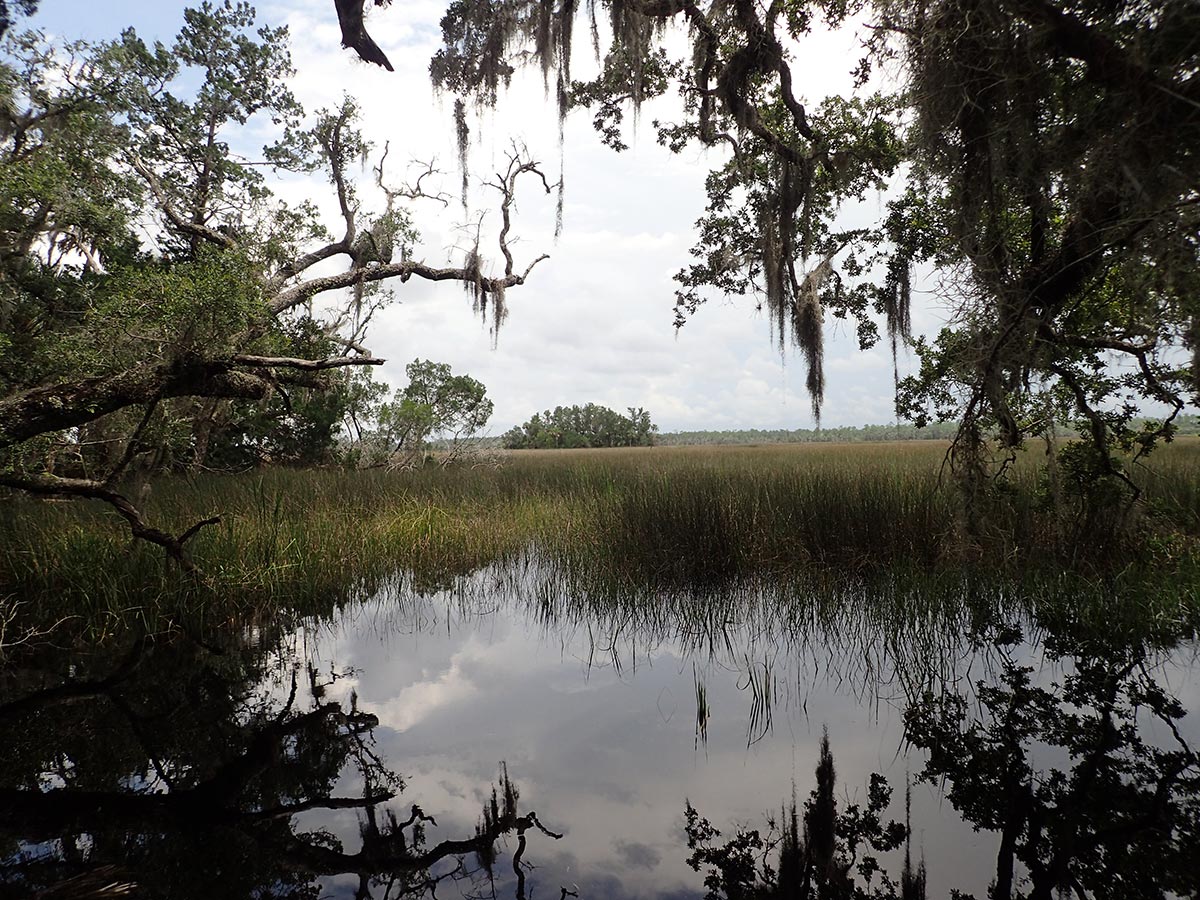
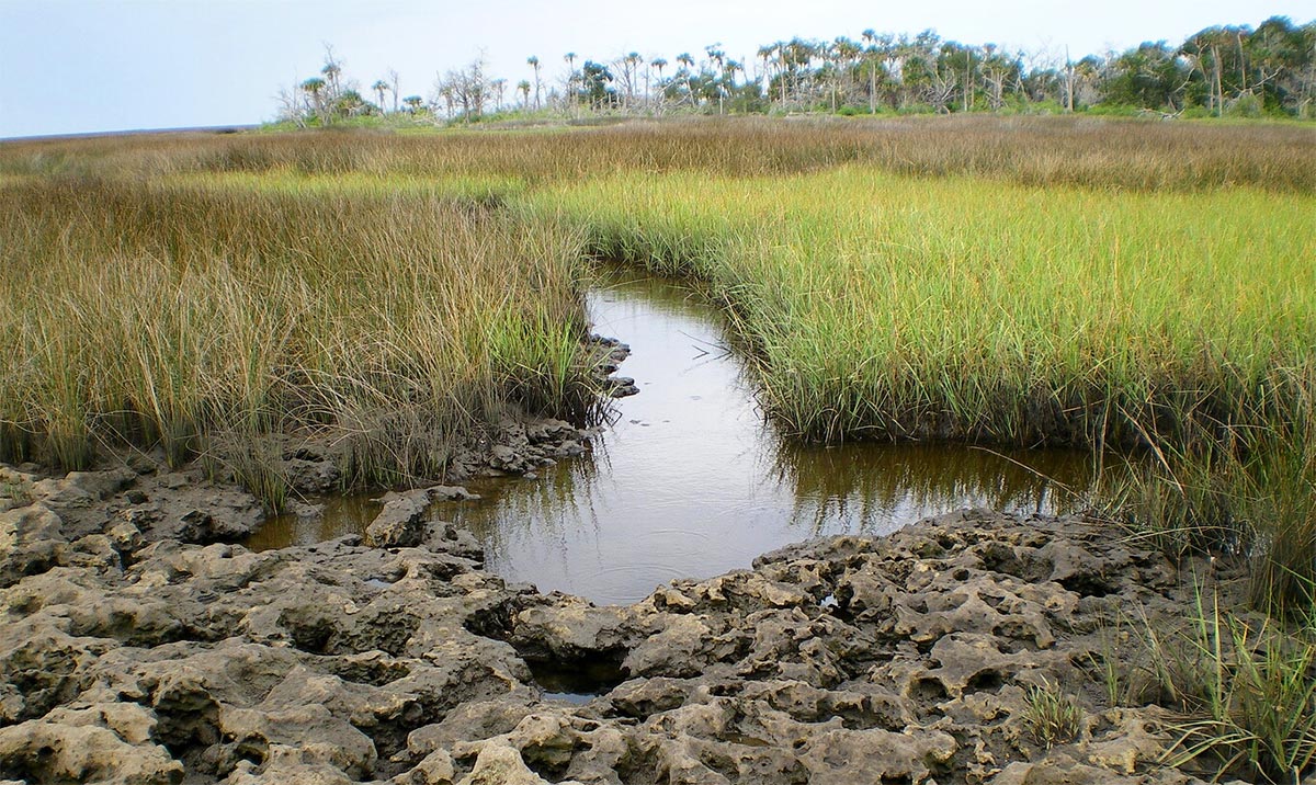
The Waccasassa Bay marshes support an important estuarine habitat where freshwater and salt water mix to form a nutrient-rich environment from which much life flourishes – including sport fish and shellfish.
These marshes are dominated by various hardy plant species, including saltmarsh cordgrass and black needle rush. The expansive, watery “grasslands” also serve to protect surrounding uplands during storm events, acting like a giant sponge and reducing surge impacts from penetrating too far inland.
One very special resident tucked into the marsh and feeding on the growing grasses is the Florida salt marsh vole. This small mammal has a very limited range and is listed as federally endangered. Changes to the bay may affect its survival.
Overall, changes to the flow or water quality of the Waccasassa River could drastically impact the natural communities that need its reliable discharge of freshwater, such as the salt marshes. Hundreds of species, including us and the vole, depend on the marsh's ecological diversity and functions to fuel life in this region. Waccasassa Bay Preserve State Park serves to protect these vital places into the future, and to showcase the importance of the Waccasassa River!