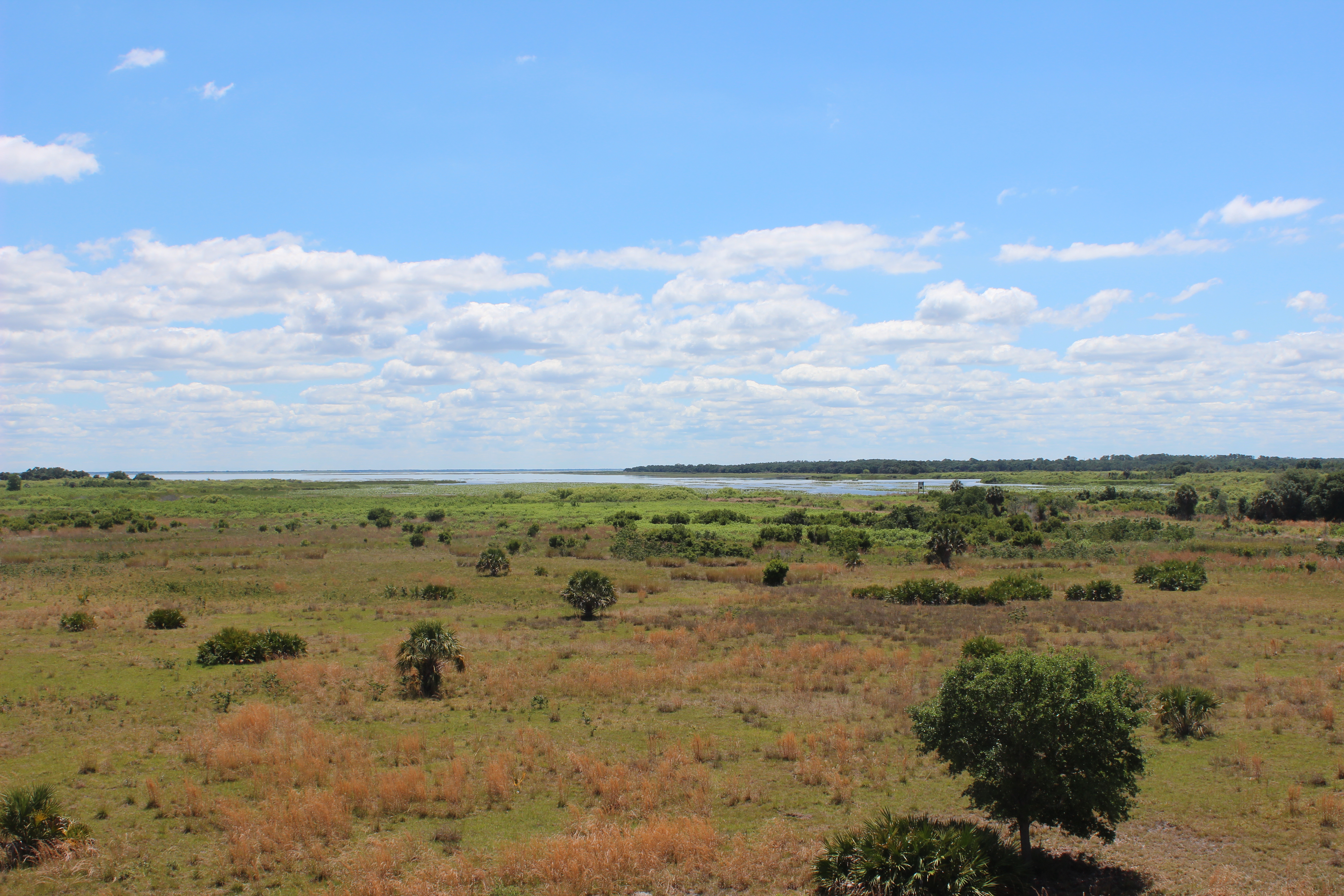
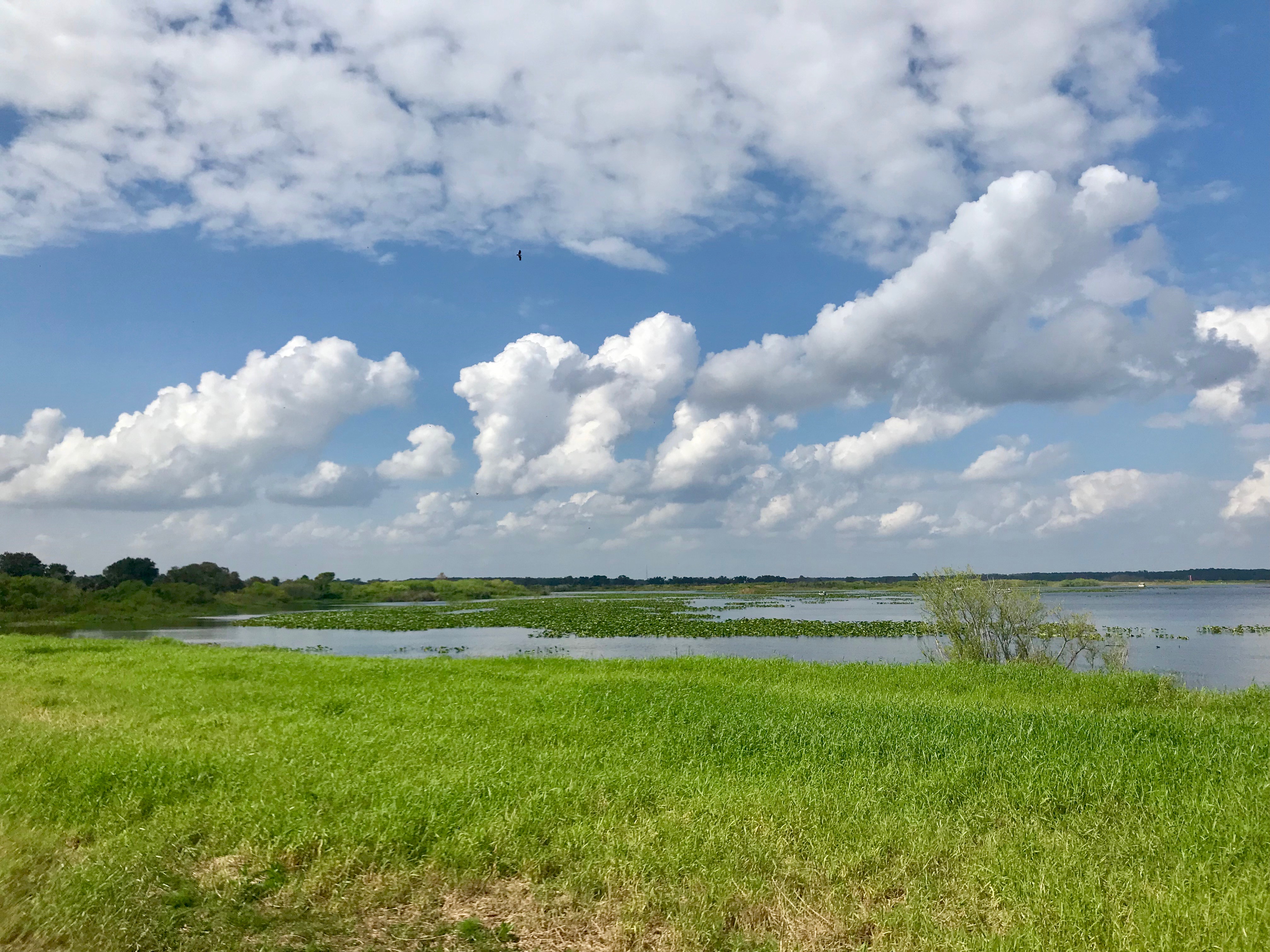
Lake Kissimmee and the Chain of Lakes
Lake Kissimmee and the Kissimmee River are part of the 2,900-square-mile Kissimmee River watershed. They are a part of the headwaters of the Everglades starting at Shingle Creek (just south of Orlando) and exiting at the south end of Lake Kissimmee into the Kissimmee River, which flows south into Lake Okeechobee and eventually into the Everglades.
The Kissimmee River originally flowed 103 miles meandering from Lake Kissimmee to Lake Okeechobee.
In the 1920s, two major hurricanes caused storm surges in Lake Okeechobee that killed more than 2,400 people. To prevent this from happening again, Congress authorized the U.S. Army Corps of Engineers to construct the Herbert Hoover Dike that currently still surrounds Lake Okeechobee.
In 1947, two other hurricanes again flooded the area and Congress then authorized the Central and Southern Florida Flood Control Project in 1948. This project raised the dike further and completed it around the entire lake.
In 1954, Congress passed the Kissimmee River Flood control project, which straightened the river from the 103 meandering miles into a 56-mile, C-38 canal that was 30 feet deep. The project started in 1961 and finished in 1971, with six locks and dams that controlled the water flow along the canal into Lake Okeechobee. This project considerably changed the hydrology, water quality and wetland features in the Kissimmee River Basin.
Although the changes provided flood protection, environmental impacts of the channeling caused alarm and calls for restoration happened early on before the construction was even completed.
After many years of planning, work on the Kissimmee River Restoration Project began in 1999 with backfilling of eight miles of the C-38 canal.
Several of the locks have been demolished, and 24 miles of the meandering river have been re-established.
The final project should restore 44 miles of the historic river channel and 40 square miles of floodplain system. When the project is finished, the system should be closer to what it was before it was altered.
The Upper Chain of Lakes, which includes Lake Kissimmee and the bodies of water north of that, should allow for more water level fluctuation. This will be more like what naturally occurred before the channelization was done, and the return of the additional floodplain will add back habitat for wading birds, waterfowl and other floodplain species that had been lost due to the first project.