History of St. Marks River Preserve
The area where St. Marks River Preserve State Park is located has been utilized continuously for thousands of years, with a possible brief lull following the final destruction of the Apalachee missions in 1704 and before migration of the Creeks from Georgia beginning a few years later. Highly significant sites dating from the Paleoindian period, the earliest phase of human occupation in Florida, have been identified just a few miles away near major springs and spring-fed rivers in North Florida, including the nearby Aucilla and Wacissa river systems and at Wakulla Springs.
There are major sites within the Tallahassee region from the historic period including the De Soto winter encampment site, Mission San Luis de Talimali, Seminole villages, and sites from the American Territorial period, early statehood period and American Civil War. This area was active in the naval stores industry that began in the post-Civil War period and continued until the 1940s as well as the timber industry.
A historic highway that once linked Pensacola and St. Augustine appears to have skirted the northern boundary of the park.
The section of the road between Tallahassee and St. Augustine was constructed under contract by John Bellamy and so that section was often referred to as Bellamy Road. Built in the 1820s, the road was planned as a major overland route passing through Tallahassee to link east and west Florida.
An 1825 plat map shows the road following the approximate route of modern Old St. Augustine Road (U.S. Highway 27), which is the northern boundary of the park. The land that is now the state park was owned by the St. Joe Paper Company, a major business conglomerate that once held vast tracts of land in the Florida Panhandle.
Many roads on the park are historic. The main north-south road was well established by 1954 and was probably based on an existing, informal road network that developed well before then. The earliest aerial photos from 1937 and 1941 indicate a road or network of roads followed the high ground between Gum Creek and the St. Marks River.
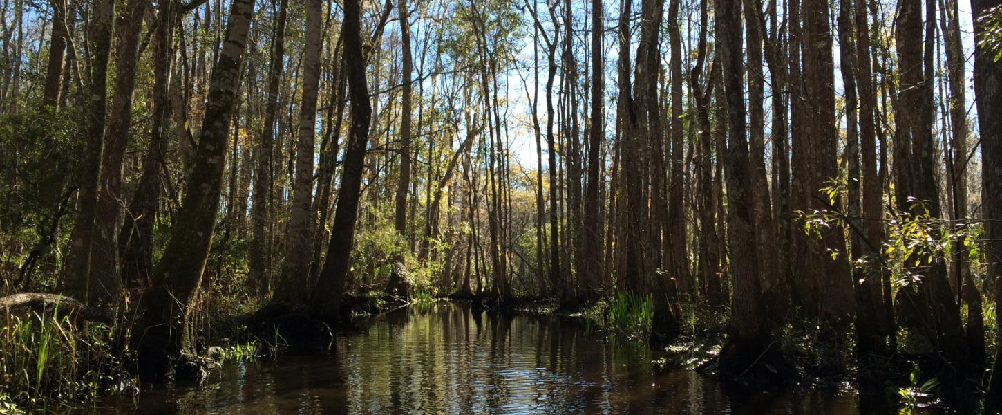
A bridge crossing on the St. Marks River by the main north-south road is indicated on a topography map on the northern section of the park and may be historic. Historic aerials also indicate the property, at least since the 1930s, has been primarily utilized for agriculture, timber production or turpentine.