Geology of Torreya State Park
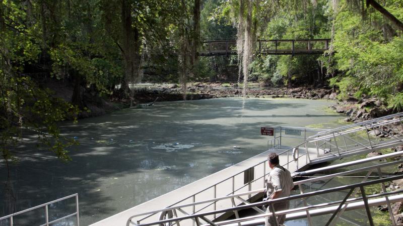
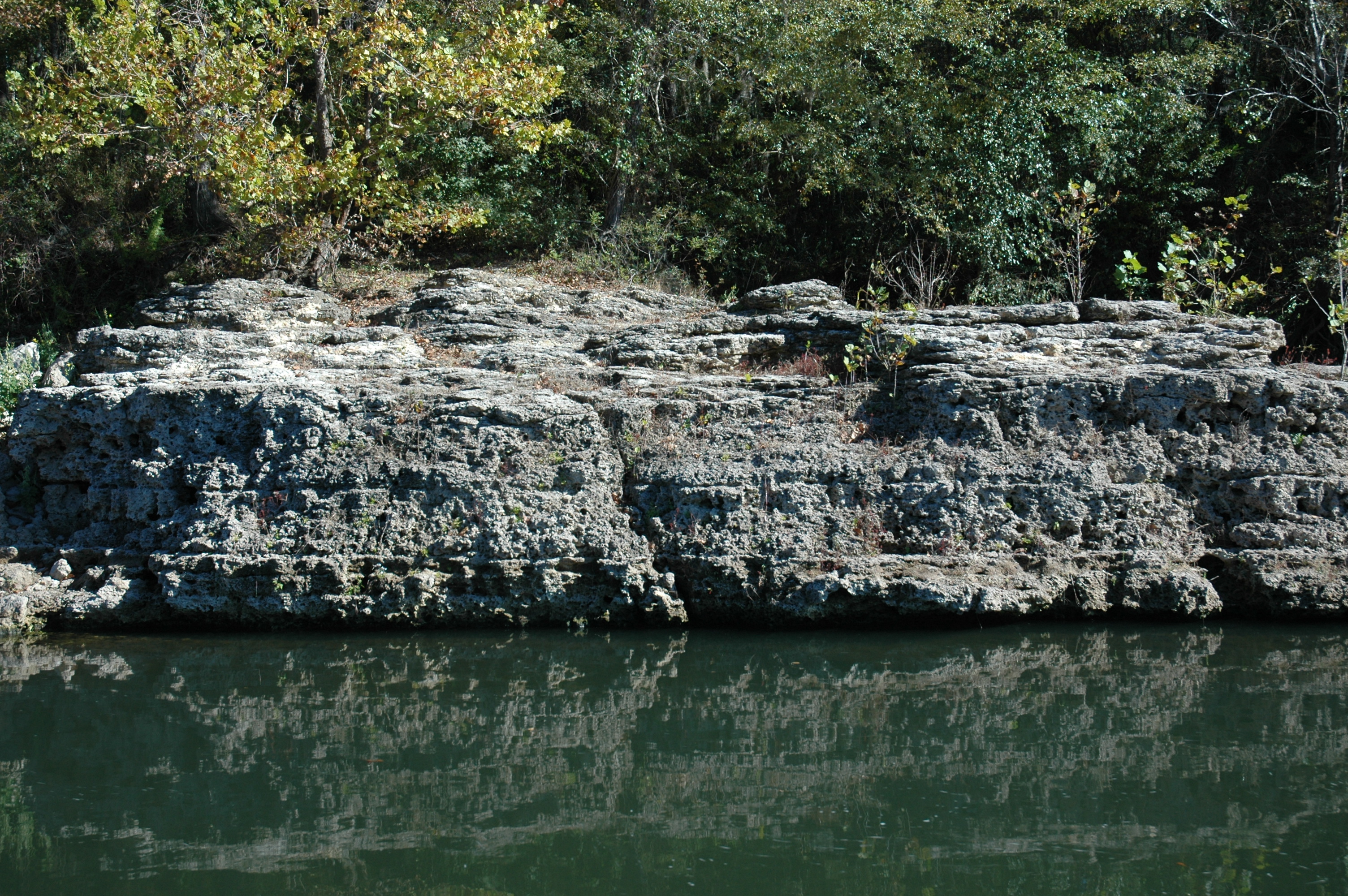
Rock Bluff is a steep, tall limestone bluff within Torreya State Park that has been exposed by erosional activity of the Apalachicola River. As this large river moves across the landscape, it erodes the underlying rocks creating the broad valley it occupies, which is called a floodplain.
Rock Bluff is located at the eastern edge of the Apalachicola River floodplain and is one of the tallest natural geologic exposures of rock and sediment in Florida. When strata are exposed at land surface, the area is known to geologists as an outcrop. At 100 feet tall, the outcrop at Rock Bluff is among the best in Florida!
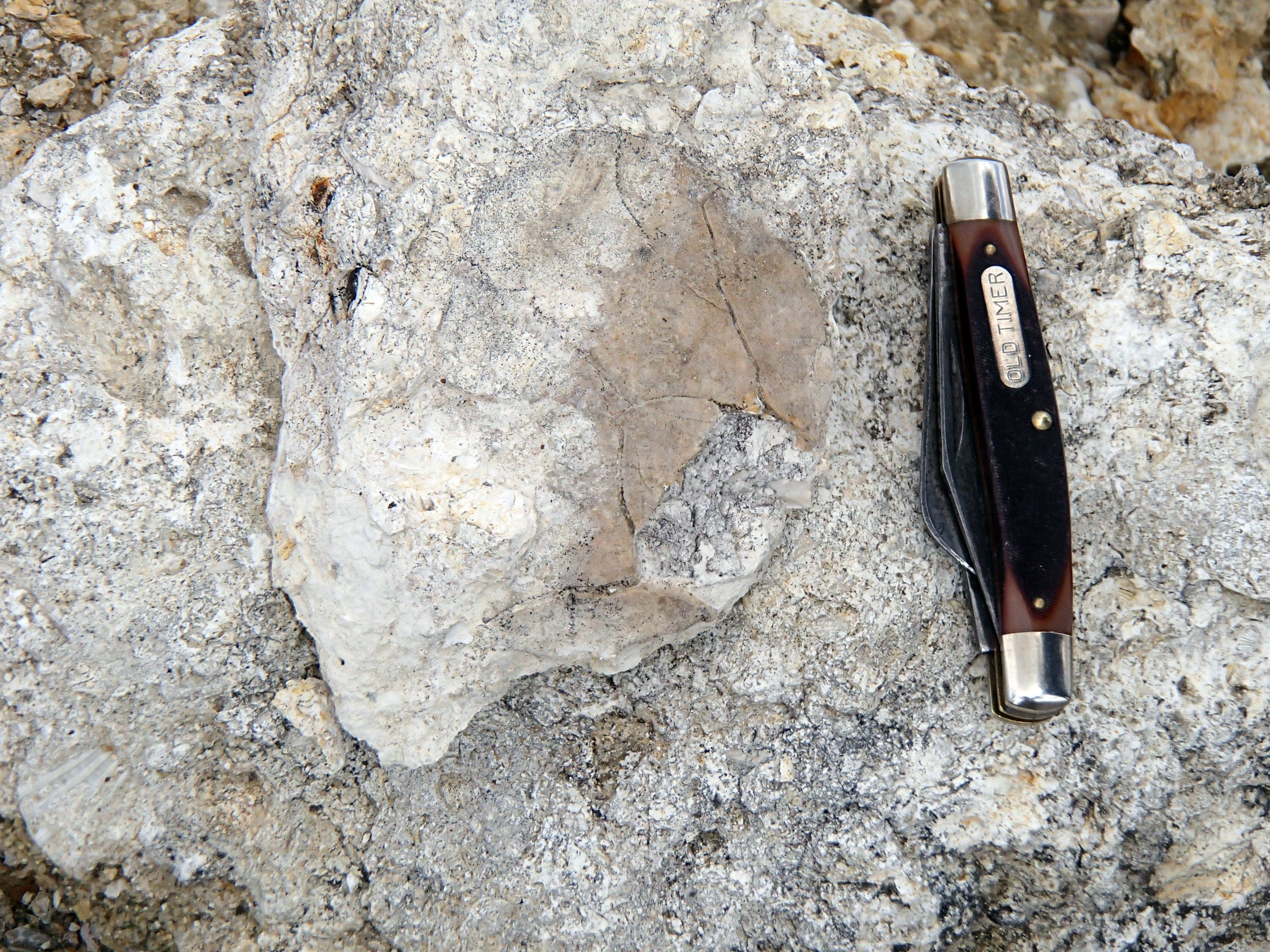
The Rock Bluff outcrop is composed of limestone mixed with quartz sand and clay. The limestone was deposited during the early to middle Miocene Epoch, between 15 and 19 million years ago, when sea level was high enough to cover much of Florida. Evidence for this can be found in the form of numerous casts, molds and shells of sea-dwelling animals like clams, oysters and snails that are preserved in the limestone.
These fossils can be seen in the limestone that is exposed when the river level is low enough. It is important to remember that this is a state park and fossil collecting is prohibited.
The limestone, quartz sand and clay exposed at Rock Bluff belong to the early Miocene Torreya Formation. Formations are rock and sediment layers that geologists describe, name and map. When a geologist names a new formation, they also designate a place where other geologists can see an example of the formation. These places are called “Type Sections.” Rock Bluff is the Type Section for the Torreya Formation, making it an important site for geologists.