Geology of Edward Ball Wakulla Springs State Park
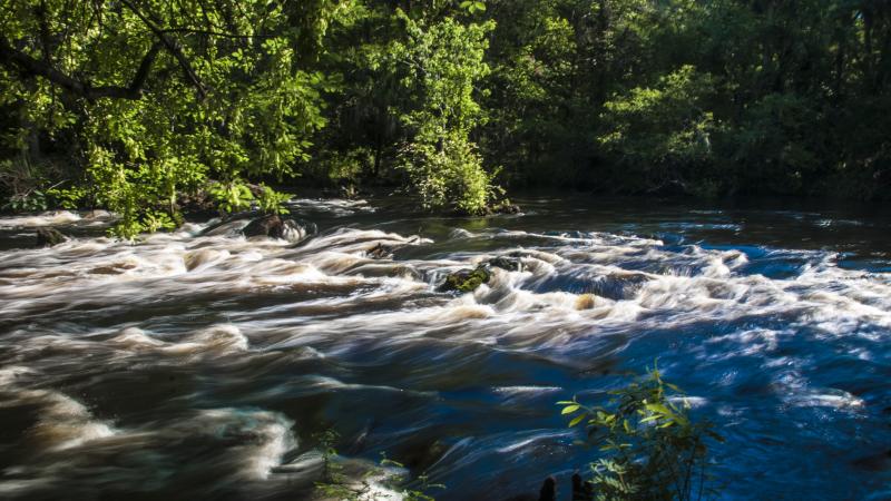
Wakulla Spring, located within Edward Ball Wakulla Springs State Park.
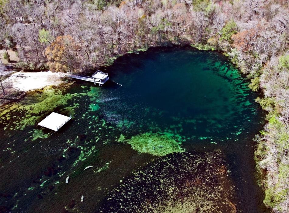
Wakulla Spring, the main source of water for the Wakulla River, discharges approximately 300 million gallons per day from the upper Floridan aquifer. Groundwater discharging from the spring can fill a 660,000 gallon Olympic-size swimming pool every eight minutes! The watershed that supplies water to Wakulla Spring is estimated to be 975 square miles and encompasses parts of North Florida and South Georgia. Water discharging from Wakulla Spring is a mix of older and younger groundwater. Surface water that recharges rapidly via multiple large swallets located throughout the watershed is later discharged at Wakulla Spring as young groundwater. Dye trace studies conducted in the Wakulla Spring watershed have verified that water flowing into four major swallets later discharges at Wakulla Spring. Because of the complex interplay between surface water and groundwater within the Wakulla Spring watershed, Wakulla Spring has one of the largest observed ranges in discharge of any spring in Florida.
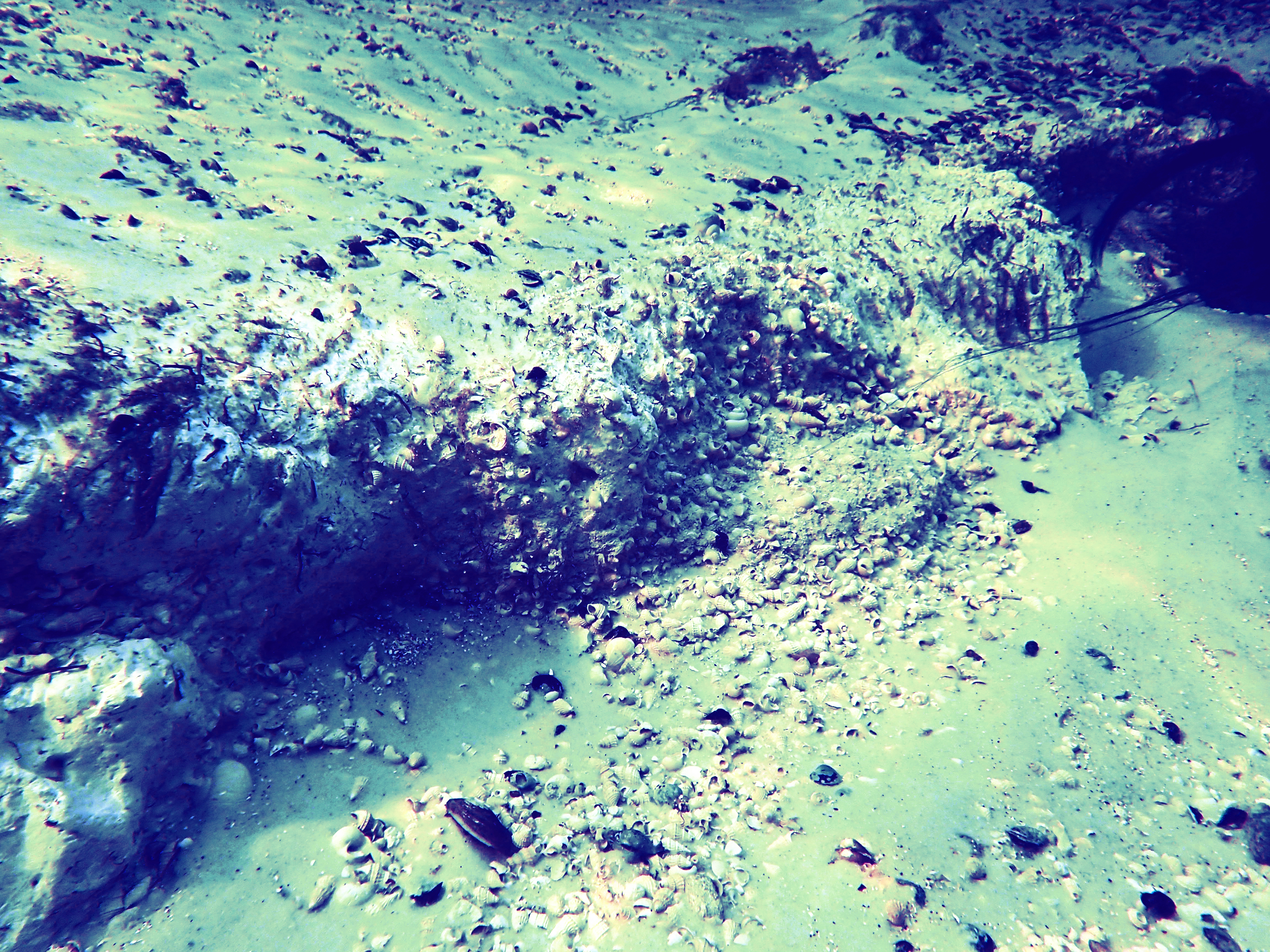
The top of the Suwannee Limestone is encountered at a depth of 90 feet below the water surface within the Wakulla Spring cave. Overlying the Suwannee Limestone is the lower Miocene St. Marks Formation. This formation is 20 to 23 million years old and is exposed between 9 and 90 feet below the water surface. It is a white to pale orange, fossil-rich, sandy limestone. Although this formation is found below the water surface, there are several places where this formation can be observed at the surface along the nature trails within the park.
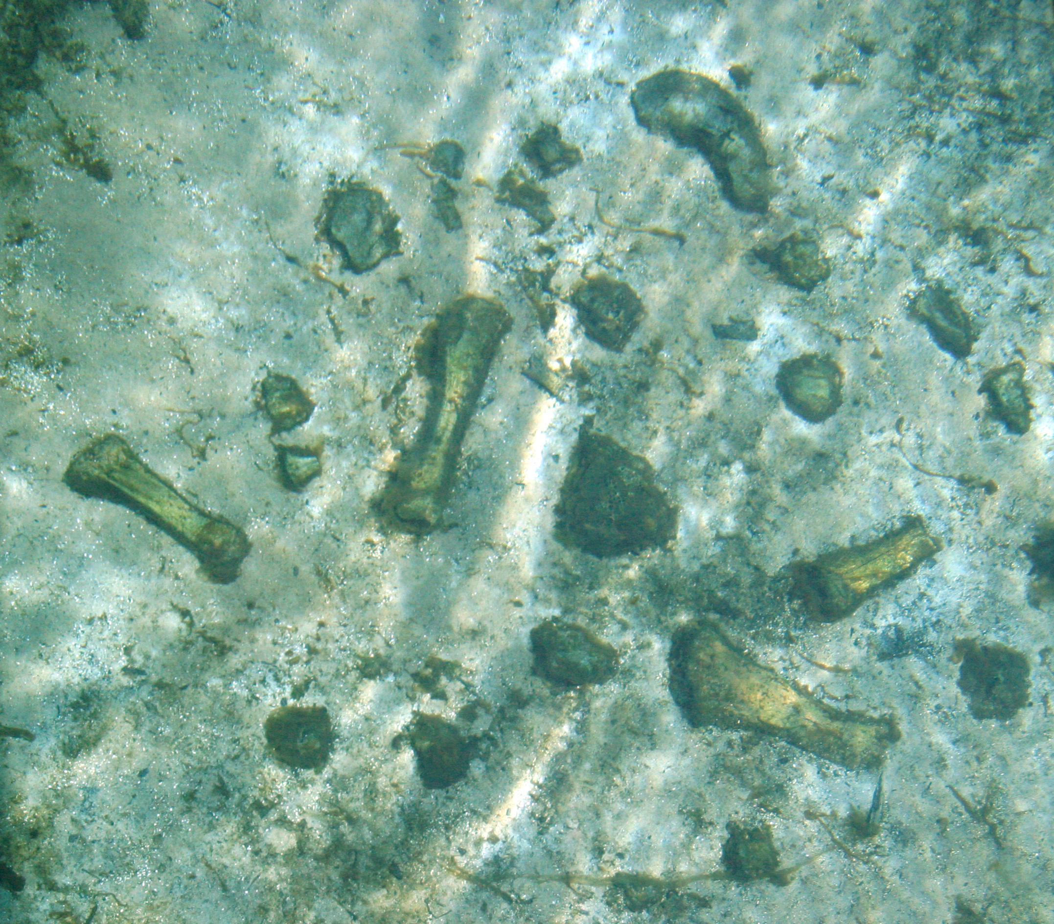
The numerous sinkholes in the area are developed in the St. Marks Formation, and in places, exposures of the unit occur within the Wakulla River. Overlying the St. Marks Formation is a thin layer of sand and clay deposited during the Pleistocene epoch, between 2.6 million years ago to 11,700 years ago. Most of these sediments are marine deposits that were left behind during times of high sea level during Florida’s geological past. Where the Wakulla River has exposed these Pleistocene sediments, it is not uncommon to find the fossilized bones of large animals that once lived in Florida. The fossil remains of mammoths, mastodons, giant sloths, camels, bison and saber-tooth tigers have all been found both in Wakulla Spring and in the Wakulla River.
The water flowing from Wakulla Spring emerges from the Upper Floridan Aquifer. This aquifer is part of an extensive aquifer system, called the Floridan aquifer system, that underlies the southern portions of South Carolina, Georgia and Alabama as well as the entire state of Florida. Near Wakulla Spring, the Suwannee Limestone and St. Marks Formation are the geologic units that comprise the upper part of this aquifer system. These limestone units contain many interconnected holes, like a sponge, that transmit water to the network of conduits that provide water to the spring. Wakulla Spring is one of many hundreds of springs throughout Florida that act as discharge (flow) points for the Upper Floridan Aquifer.
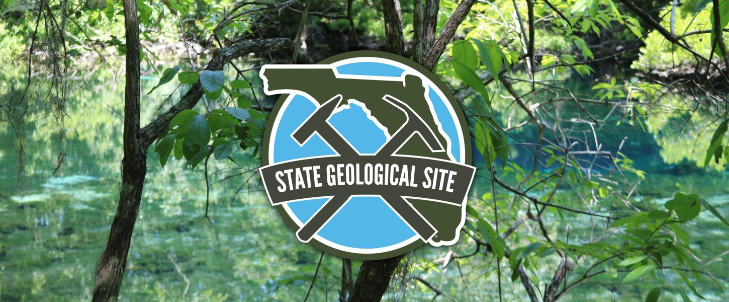
Designation
On Dec. 20, 2018, Edward Ball Wakulla Springs State Park was officially designated the newest State Geological Site. Designated State Geological Sites are areas that DEP's Florida Geological Survey has determined to be significant to the preservation, scientific study and public understanding of geological history and resources in Florida. Additionally, designated Geological Sites provide opportunities to experience and learn about a site's geological features, its connection to the local ecosystem, and its significance in past and present culture.
Florida legislation authorizes the state geologist to designate sites that are of great and continuing significance for the scientific study and understanding of the geological history of Florida. Several sites have been identified, and the state geologist will identify 10 more sites over the next two years.