GeoPDF Maps
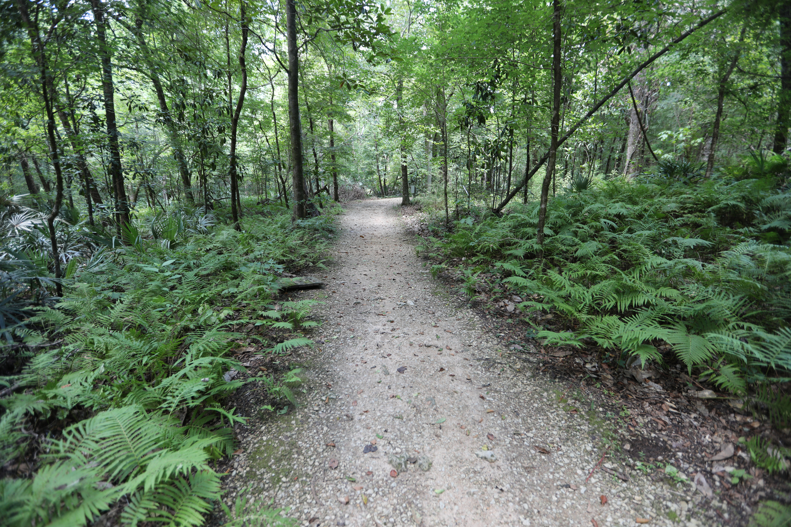
Stay on Course with a GeoPDF Map
GeoPDF maps allow trail users to view their locations on their smartphones – even when a mobile internet connection is not available.
Combined with an offline mobile maps app, such as Avenza Maps, a GeoPDF map will display your current location in remote areas where there may be sparse or no mobile service. You must have a GeoPDF app on your phone for the maps to work properly.
Get started
Download the free Avenza Maps app from these app stores:
Once the GeoPDF has been downloaded:
For Android Devices
- Open Avenza Maps.
- Tap the "add" button.
- Tap “download or import a map.”
- Tap “from device storage.”
- Navigate to the recently downloaded map.
The map will then open in Avenza Maps.
For Apple iOS Devices
- Open the map.
- Tap the upload button.
- In the list of app icons, scroll to Avenza Maps or to the "more" on the far right and choose Avenza Maps.
The map will now show as being available in Avenza Maps.
Note: The free version of Avenza Maps is limited to having three maps downloaded to the app at any one time.
Available Florida State Parks GeoPDF Maps
About
This website is used to download recreation maps generated by the Florida Department of Environmental Protection Division of Recreation and Parks in Geospatial PDF (GeoPDF) format. Geospatial PDFs an be viewed and printed at home the same as standard PDFs but also contain geospatial coordinate information.
Users can view these maps on any iOS, Android or Windows mobile device to see their current location relative to the map.
Map Disclaimer
The maps and map data are for informational purposes only and are provided "as-is." The Florida Department of Environmental Protection explicitly disclaims any representations and warranties as to the accuracy, timeliness or completeness of maps and data. These maps and data are created from multiple city, county, state and federal sources.
The source data may contain errors, and it is the responsibility of the end user to verify the information provided. These maps and data should not be used for navigational, tracking or any other purpose requiring exacting measurement of distance or direction. In no event will the department or its officers or employees be liable for any losses or damages that might arise from the use of the maps and data.
The department shall assume no liability for any decisions made or actions taken or not taken by the user of the maps and data. Users of this map should be aware that potential hazards and obstructions may exist on the routes shown, and that the department in no way warrants the safety or accuracy of the suggested routes. The user of this map bears the full responsibility for their safety.